From Parry Sound Harbour, you can board a boat to visit this narrow channel of water between Huckleberry and White islands.
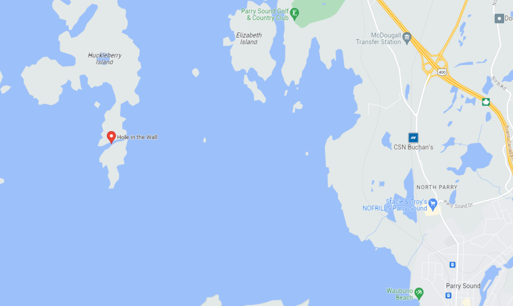
Bordered by steep rock cliffs covered in cedar and white pine, the channel formed from gradual erosion of gneiss rock.
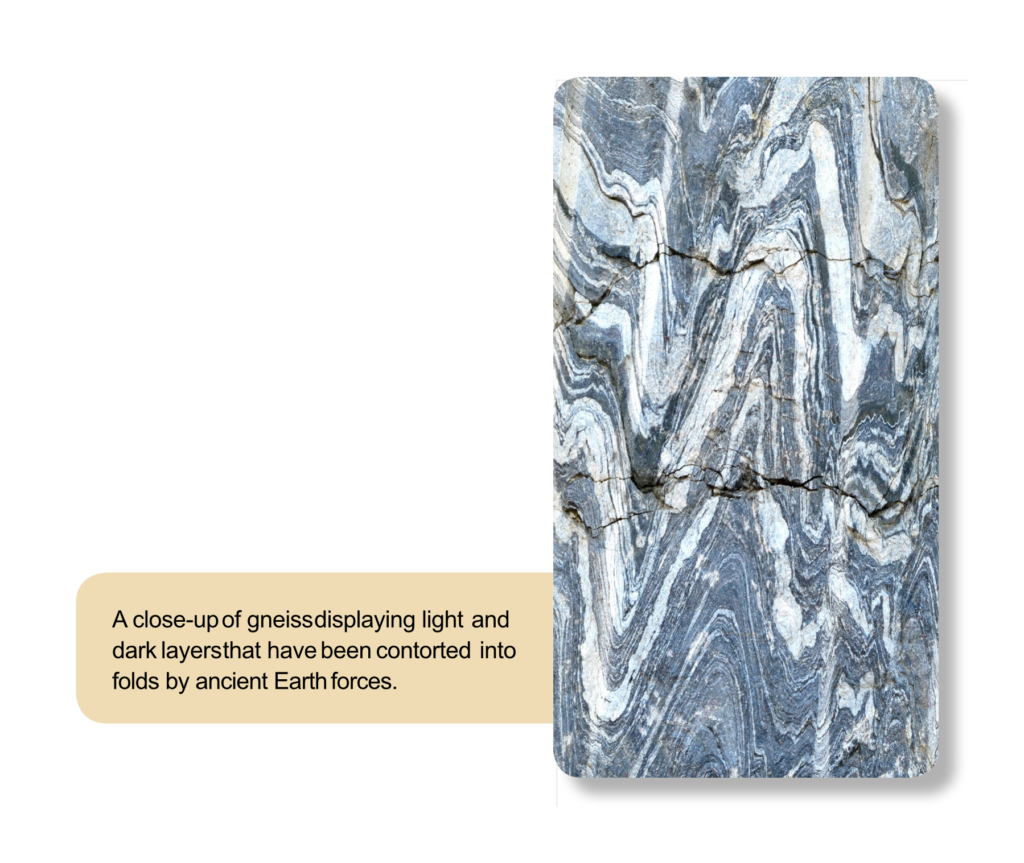
Natural Resources Canada and Ontario Geological Survey 2015. French River Provincial Park: A historic waterway through Canadian Shield gneiss; GeoTours Northern Ontario series.
If you take a close look, you’ll find large groups of Northern map turtles sunbathing on the shoreline.
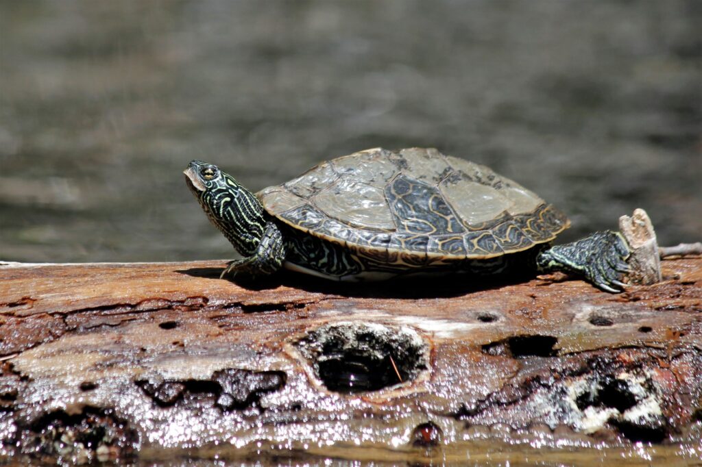
Credit: Kayla Martin, courtesy of Georgian Bay Biosphere.
For more information on the Northern Map Turtle, visit: gbbr.ca/species-at-risk/common-map-turtle/
